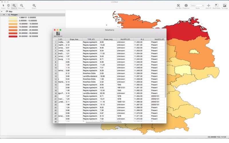
This is a beautiful gis map software, use a grand new elegant design.Support both vector layer and raster layer rendering.
Vector layer
• Supported file formats:ESRI Shapefile, Geojson ,dxf
• Supported vector layer type: point layer ,line layer ,polygon layer
• Map can be colored by category value or gradient value
• Support 5 kind of gradient interval method (equal interval, quantile, nature breaks, standard deviation, pretty breaks)
• Auto label by attribute table
Raster layer
• Supported file formats:.ESRI ASC, GOLDEN SOFT GRD ,DEM
• Shaded relief rendering:customizable light direction,zenith angle,light intensity and more
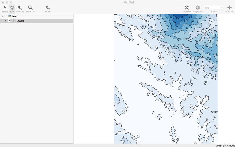
• Contour rendering: support hole inside, very efficency,support 5 kind of gradient interval method (equal interval, quantile, nature breaks, standard deviation, pretty breaks)


